Geological Origins and Setting
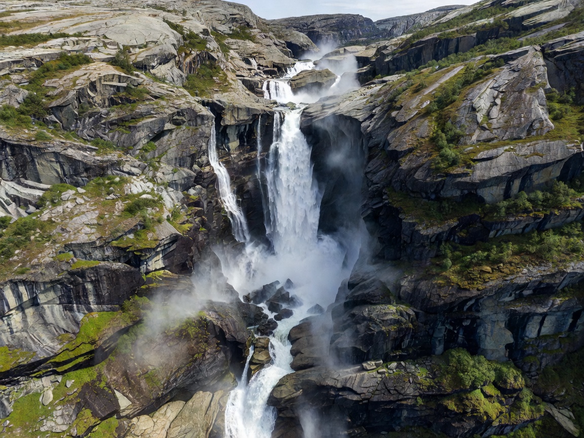
Vøringsfossen cuts through the western edge of Hardangervidda, Northern Europe's largest elevated plateau. The river Bjoreio drains an immense sub-alpine catchment basin of snowfields and lakes. As meltwater travels toward Eidfjord, it meets the sheer vertical fault line of the Måbødalen valley, plunging down 182 meters in total, with an uninterrupted vertical free-fall segment measuring 145 meters.
The canyon walls reveal dense pre-Cambrian granites and gneisses, deeply gouged by repetitive ice-sheet movements across multiple glacial cycles. The velocity of the plunging column creates localized high-pressure air vortices, driving water spray hundreds of meters up the canyon walls and fostering thriving communities of sub-arctic ferns and mosses on damp stone ledges.
Trail Systems and Modern Architectural Overlooks
Historically, viewing the base of Vøringsfossen required a rugged trek along the boulder-strewn canyon bed from the lower highway tunnels. In recent years, the Norwegian Scenic Routes program commissioned a monumental step bridge designed by architect Carl-Viggo Hølmebakk. Spanning the gorge between Fossli and the outer rim, this 47-meter steel footbridge incorporates 99 steps suspended directly above the churning water.
The upper viewpoints at Fossli Hotel offer an expansive panoramic overlook of both the main waterfall and its secondary seasonal feeder, Tyssvikofossen. Modern graded pathways and safety railings allow travelers to observe the precipitous drops safely without destabilizing the fragile cliff-top tundra vegetation.
Expedition Advantages
- Architectural step bridge provides unmatched mid-air perspectives.
- Direct road access along Norwegian Scenic Route Hardangervidda (Rv 7).
- Dramatic landscape juxtaposition of barren plateau and lush fjord valley.
Logistical Considerations
- River Bjoreio flow is regulated by hydro installations; winter volume is diminished.
- Canyon floor hike requires sturdy footwear to navigate wet, slick scree.
- Sub-zero icing frequently closes the suspended step bridge during shoulder seasons.
Seasonal Variations and Flow Regulation
Because the Bjoreio watercourse is connected to the Sysen Dam reservoir system, summer discharge is maintained at minimum baseline levels mandated by environmental preservation agreements. Between June 1 and September 15, statutory minimum water flows of 12 cubic meters per second are released, restoring the thundering historical character of the cataract.
During late autumn and winter, flow decreases significantly, transforming the vertical walls into colossal blue ice curtains favored by expert ice climbers, though general trail access becomes hazardous due to avalanche hazards along the lower canyon walls.