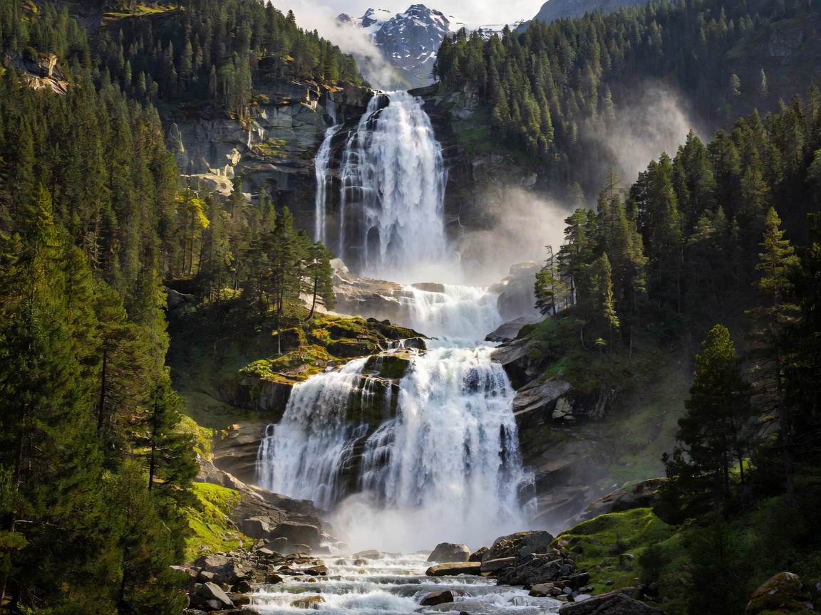
Three-Tiered Geomorphology
Krimml Waterfalls (Krimmler Wasserfälle) is positioned in the Pinzgau region of Salzburg. The water flows from the Krimmler Ache, an alpine stream emerging from a glacier-bound catchment basin that spans several peaks exceeding 3,000 meters in elevation. The total drop of 380 meters is executed in three distinct sections: the Upper Fall with a drop of 140 meters, the Middle Fall cascading 100 meters, and the dramatic Lower Fall dropping 140 meters to the Salzach valley floor.
The structural survival of these vertical steps is due to hard Central Gneiss formations that resisted tectonic shearing and glacial grinding more effectively than neighboring schist strata, resulting in sharp bedrock cliffs that channel the alpine runoff with tremendous force.
Microclimate and Aerosol Properties
The violent impact of falling water upon protruding rock ribs shatters droplets into billions of sub-micron aerosol particles. These ultrafine water particles carry negative electrical charges and linger in suspension within the steep forested basin.
Clinical studies overseen by regional health authorities have documented that prolonged inhalation of these clean, negatively charged mountain aerosols improves respiratory conditions, specifically allergic asthma and bronchial inflammation. Consequently, the Austrian government designated the area as a therapeutic health resort, adding a biomedical dimension to its ecological value.
Expedition Advantages
- Expansive 4-kilometer maintained panoramic trail built by the Austrian Alpine Club.
- Glacial backdrop provides continuous high flow from June through August.
- Direct integration into Hohe Tauern National Park trail network.
Logistical Considerations
- Ascending all three tiers involves a 430-meter elevation gain on steep grades.
- Seasonal toll fee (Wasserfallweg) collected to fund trail preservation.
- High summer traffic along the lower tier requires early morning departures.
The Wasserfallweg Trail Logistics
Originally engineered in 1879 by the Austrian Alpine Club (ÖAV), the modern Wasserfallweg is a continuous 4-kilometer gravel and stone switchback path equipped with numerous reinforced viewing pulpits (Kanzeln) that hang directly over the spray zones.
Ascending from the lower park center to the highest tier takes approximately 1.5 to 2 hours of steady hiking. At the top of the Upper Fall, the path opens into the serene, flat glacial trough of the Krimmler Achental, where the turbulent river transitions back into a meandering alpine stream flanked by stone stone huts and larch woods.